Like most people who are staying home to avoid catching and/or spreading Covid-19, I’ve had to fulfill my need to be outside by finding it near my home. I am fortunate to have some space to explore due to the size of our property, which, by middle-class, Southern California standards, is on the slightly large size.
I took advantage of one of the few sunny days we’ve had in the past few weeks to appreciate the arrival of spring in my backyard. The peach and plum trees are blossoming and the citrus trees are adorned in their heavenly white flowers (by the way, if you have never smelled an orange blossom, I pray you someday get to experience it). Flowers are growing on the drought-resistant bushes we planted last year, wild flowers are blooming in the very back of the property, and the bees are so plentiful, the air is filled with a constant drone of buzzzzzzzzzzz. My neighborhood sounds like it borders a racetrack for tiny motorcycle riders.
I am thankful for so many things—the health of my family, the food we have to eat, that we have a roof over our heads, that for now, my job is secure. These are big things to be thankful for.
Sometimes though, sometimes it’s the little things that give living a little extra sparkle and sense of wonder.
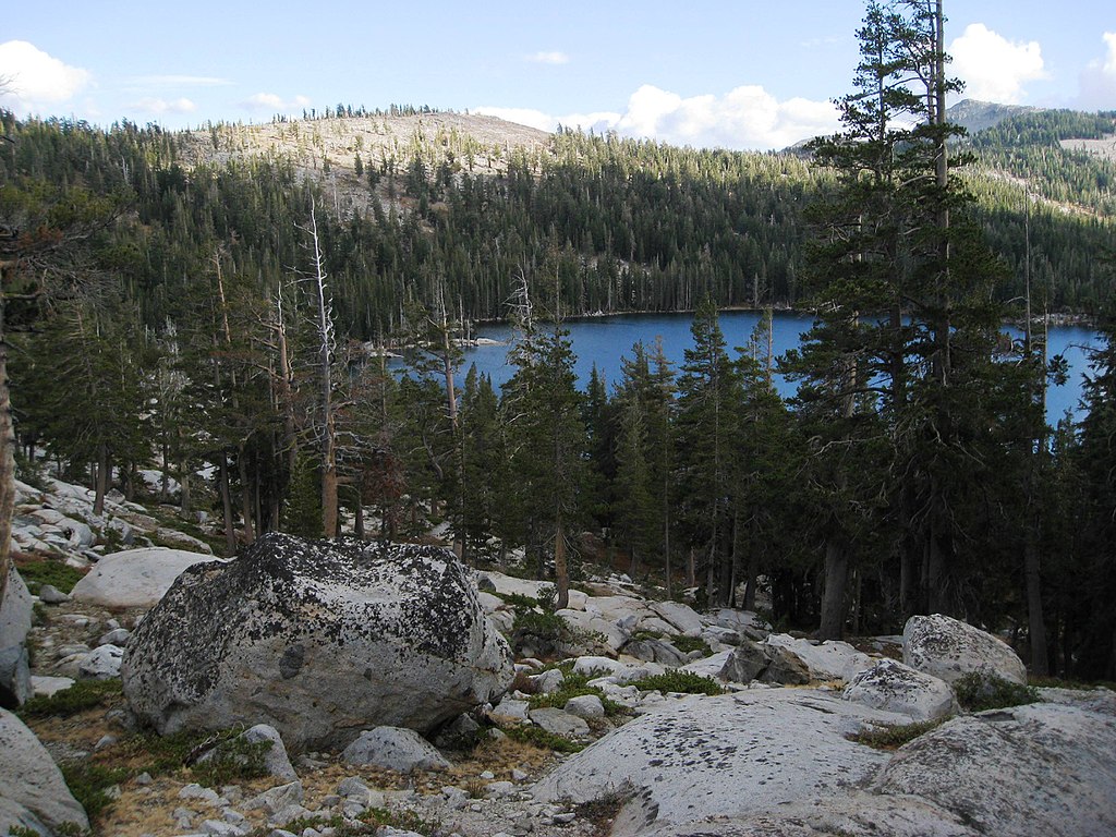
Anza-Borrego Desert State Park is the largest state park in California. It lies on the eastern edge of San Diego County, with parts of it extending into Riverside and Imperial Counties. The park is well known for its wild flowers in the spring, hiking trails, camping, diverse animal population, and unique beauty. For now, the park is closed, like so many others across the country, due to CONVID-19.
It has only been in the past couple years that I discovered the beauty of the desert. I was born a mountain lover and used to turn my nose up at the seemingly barren, uninteresting landscape of the desert. A couple recent desert visits changed my view forever. The desert—Anza-Borrego, specifically—is anything but barren and uninteresting.
From a distance, the desert looks drab. From the inside, it is a colorful place. Flowering desert plants, patches of flowering ground cover, reddish sand, striated cliffs and boulders, and minerals of red, white, and black are just some of nature’s swatches this desert hides from those who don’t venture in. In the spring, Anza-Borrego explodes in color in the form of wildflowers, giving even the most desert-averse the gift of its underappreciated beauty.
This is a gorgeous example of spring in Anza-Borrego. This is not my photo. Attribution is given in the caption below.
If I had to choose between the mountains and the desert, I would still choose the mountains, for that is where my soul is bonded. Without the mountains, the Anza-Borrego Desert might be very different from the one I’ve learned to love. In this way, they are tied together, an attachment only nature can form.
Below are some photos I took during a couple winter excursions to Anza-Borrego this year. I had hoped to get photos of the wildflowers this spring, but social distancing happened. Hopefully next year.
No new mileage to report in this post; however, I will be hiking this weekend, so I’ll update in a couple days. Aside from trying to reach my 500-mile goal by my birthday in about 11 months, I’ve got a new incentive to get out and hike.
In July, I will be section hiking the Pacific Crest Trail!
California’s Section K is where I will begin my quest to hike the PCT a section at a time. I chose Section K because its trailhead is about a nine-hour drive from my house, it doesn’t require that I trek through desert during the summer, and its 60-mile length seems doable for a someone new to backpacking.
This section of the PCT requires a permit, which I reserved last week. It also has quotas set for the trailheads because the trail passes through the Desolation Wilderness. It was a bit confusing trying to figure out how to plan around the permit and quotas, but I feel 99% confident that I did everything correctly.
Now, I need to prepare my body and my gear. I’ve been adding to my pile of things I need for backpacking, but I have a lot of work to do when it comes to being physically and mentally ready. Each of these topics deserve their own posts, so I won’t get into this now.
Instead, I’ll end this post with an image of Lake of the Woods, one of the many beautiful places I will see during my trip.
Over the weekend, I decided to hike a trail that I’ve been on countless times over the past three years. This was my first time hiking it, though.
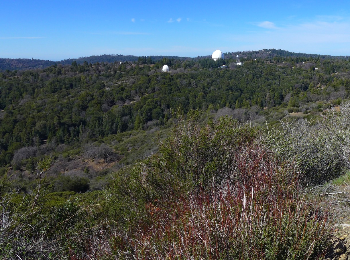
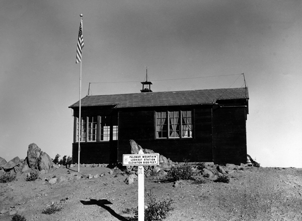
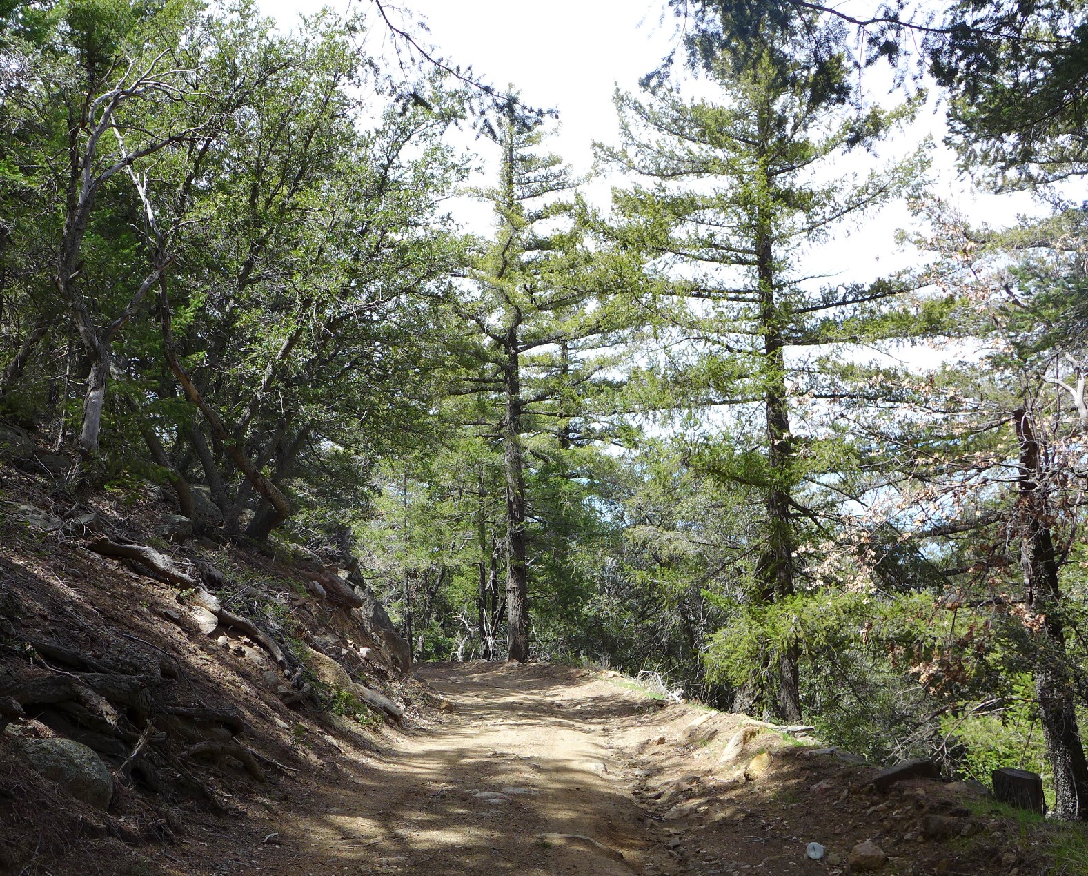
The trail is a rutted, partially graded truck trail that leads to Highpoint Fire Tower, which stands at the highest point on Palomar Mountain (elevation 6,140 feet). Most of the trail is located on property owned by the California Institute of Technology and travels east, past the Palomar Observatory. It’s accessible to fire agencies, the US Forest Service, and fire tower lookouts. I fall into the last category of people as a fire lookout volunteer.
View of Palomar Observatory from the trail.
The fire tower is currently closed up since fire season won’t start until May, but I figured I would hike to the tower since I’ve only ever gone up in a vehicle. I’ve always been told the trail is about nine miles, round trip, which is also what I calculated with my mapping app. It turned out to be about 6.5 miles.
A view of Highpoint Fire Tower from the trail below. It’s much taller in person.
Since the trail isn’t open to the public, I had it all to myself until I got to the top. Not long after I made it to the tower, two hikers who used the much longer, public trail, appeared. We chatted about gear while I ate my lunch. Nice people.
A closer look at Highpoint Fire Tower. In 1964, this tower replaced the original, which was built in 1935. It is about 70 feet high, and there are 92 steps to the cab (the box-like structure on top). I love this tower! Working in it is one of my favorite ways to spend my time.
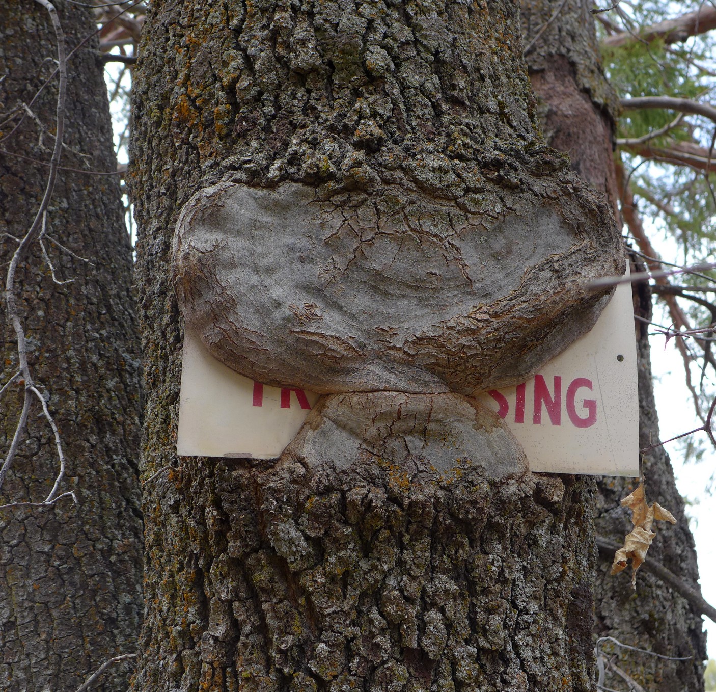
The breeze at Highpoint was refreshing after my warm trek up, and the view was amazing, as always, so I stayed for about a half hour before heading back down the trail. Getting back to the fire station, where I parked my car, was much faster than going up. This had a lot to do with gravity, of course, but I also felt highly motivated after determining the animal tracks I had been seeing on my way up looked like they were left by a mountain lion.
It’s difficult to tell, though… maybe they were canine prints. Sometimes the people who work and live onsite at CalTech use the trail for hiking, so I’m hoping someone went for a walk with their friendly, smiling, tail-wagging Golden Retriever earlier that morning.
The “TrailBuddy” logo on my trekking pole is about 2.5 inches, making the print in the photo about 3.5 inches long.
Despite the missing miles and mysterious animal tracks, the hike was good. It was interesting to see the trail from a different perspective. It also gave me a chance to check on the state of the road after all the rain we had, giving me a duty-related reason to use the trail.
Here are some more photos from my hike.
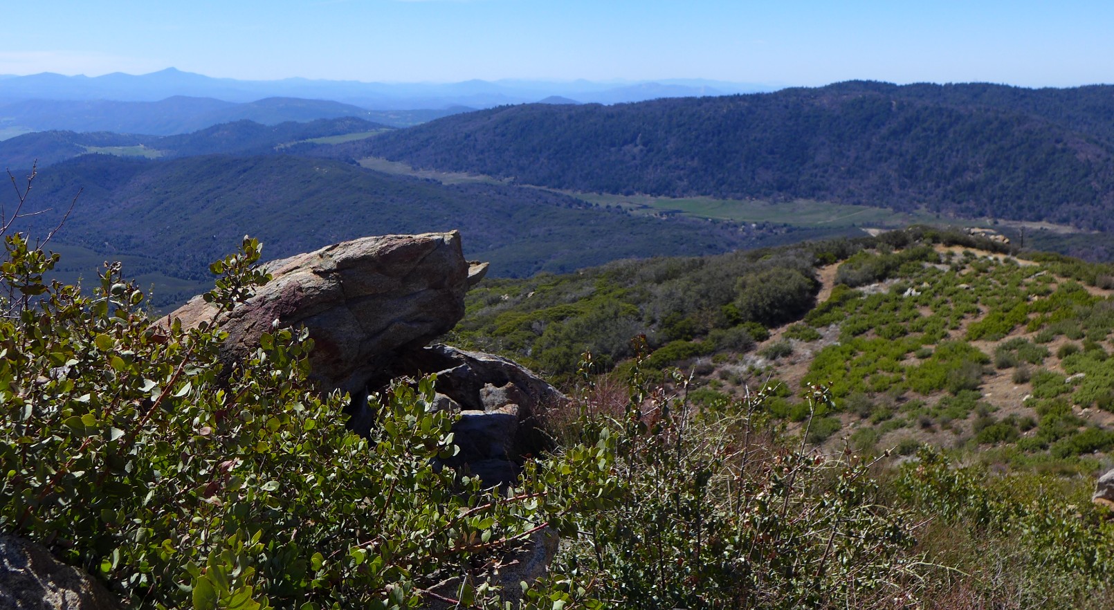
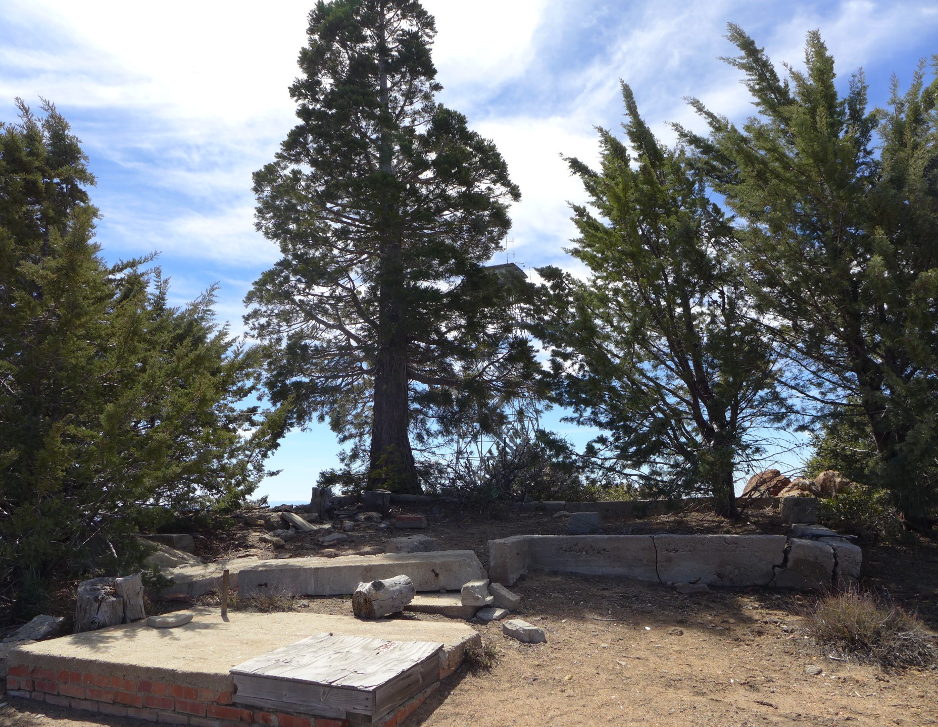
Mendenhall Valley below, the Cuyamacas in the distance (at the left of the photo).Looking southeast toward Warner Springs and Santa Ysabel. The PCT is somewhere down there.This is what’s left of the fire lookout’s house.
This is what the residence looked like in the 1930s. So bare! We have a photo that was taken later… the trees are there, but they are still small.
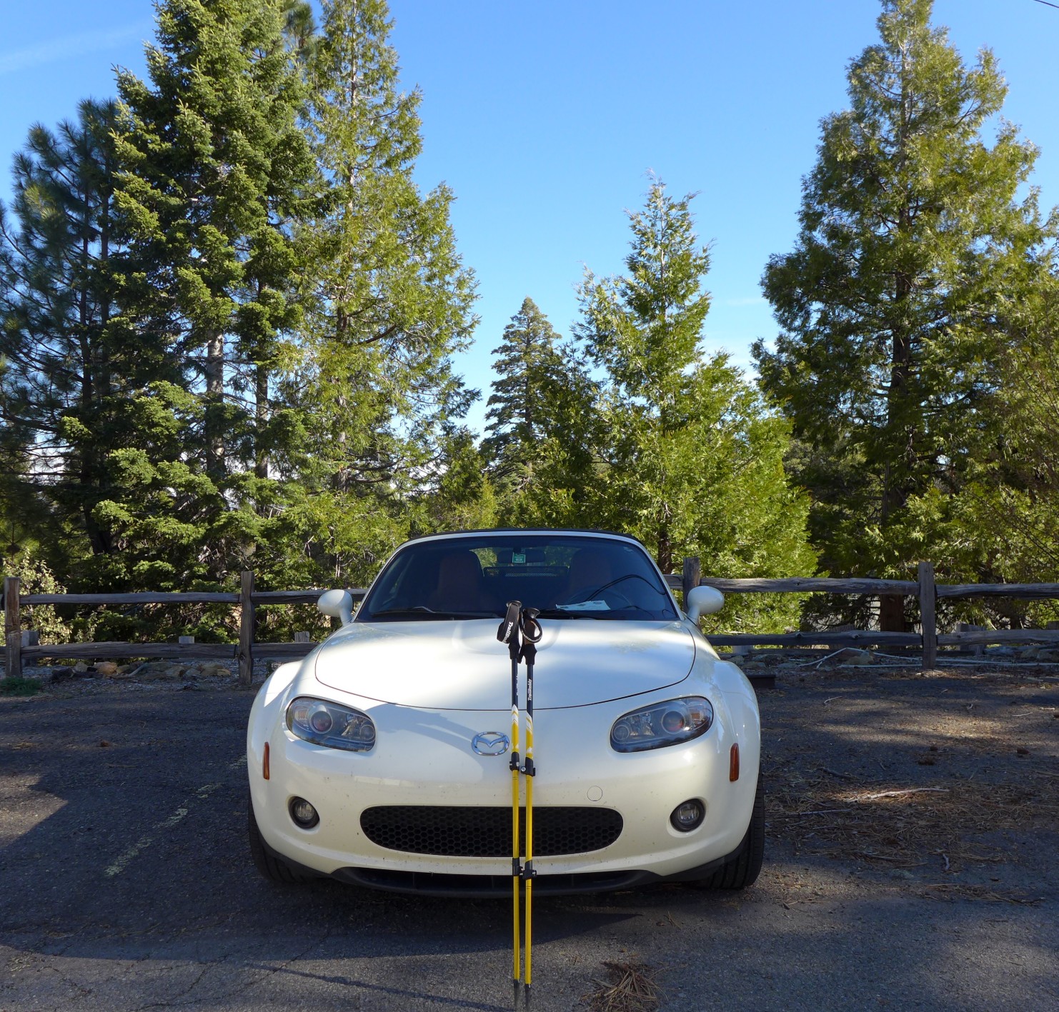
Heading back down. One thing I love about Palomar Mountain is the ever-changing terrain and the many different types of trees and shrubs that inhabit the area.Nom, nom, nom… watch out for hungry trees!Back at the fire station. This is my husband’s cute little car. He had to use mine, so I got to drive this up the mountain. This is a fun car, but my dream car is a Subaru.
Merriam-Webster Unabridged Dictionary’s first listed definition of the word FREEDOM is: the quality or state of being free… the quality or state of not being coerced or constrained by fate, necessity, or circumstances in one’s choices or actions
Freedom. Wars have been, and still are, waged to gain it. People have, and still do, sacrifice everything to keep it… to give their children and grandchildren the gift of it. Freedom means different things to different people. It can be as huge as a country and as tiny as a baby’s first step. For some, freedom lies on the other side a distant border, while others find it behind the wheel of a car. It can be as meaningful as worshiping without fear of violence or loving someone without suffering the sting of hate and prejudice. It can also be as petty as a teenager’s argument to stay out until two in the morning.
What does all of this have to do with hiking? Everything.
I hike because I am free to do so. I am blessed to reap the benefits of living where I do, and I thank God every day for this privilege. But I also hike to be free. Not everyone understands this, but those who hike probably do. There is a freedom on the trail… a moving forward, propelled by the power of my own two legs. Hiking offers an escape from the demands of life. Instead, there is peace and contentment in nature. To me, hiking and surrounding myself with nature is like coming home, going back to the person I was created to be.
I love Nature partly because she is not man, but a retreat from him. None of his institutions control or pervade her. There a different kind of right prevails. In her midst I can be glad with an entire gladness. If this world were all man, I could not stretch myself, I should lose all hope. He is constraint, she is freedom to me. He makes me wish for another world. She makes me content with this.
Henry David Thoreau
One morning, not too long ago, I opened CalTopo on my phone. This is an app that allows its users to view and map trails. I found the beginning of the Pacific Crest Trail, which is about 50 miles south of where I live and watched the entire trail slowly load as I scrolled out.
It was fascinating to see the red line that represents the PCT spread further and further north. When it finally stopped at the Canadian border, I took it all in and my heart leapt as one word flashed in my mind—a single word that sums up how I view the PCT.
Freedom!
The PCT represents freedom to me. For more than a year, I’ve dreamed of hiking the length of this trail, but until that moment, I didn’t know why. Then I thought about my ancestors, and how I come from a long line of people who traveled the world. My earliest ancestors I can trace were Vikings. Later, they were Pilgrims who came to the New World for religious freedom and/or financial gain. After that, they were homesteaders who braved the unknown of the territories.
This is the DNA that built me. I don’t feel the urge to conquer and pillage. I also don’t need to find a new home halfway across the world… or across the country. But maybe I’m drawn, in part, to the freedom of the trail because of all those who came before me.
“Every book is a quotation; and every house is a quotation of all forests, and mines, and stone quarries; and every man is a quotation of his ancestors.”
Ralph Waldo Emerson
Someday, I will hike the PCT, though it will likely be in sections. Maybe I’ll even take on the Appalachian Trail when I retire. In the meantime and in between, there are a lot of trails I am free to travel, and there is a lot of freedom to find on each trail I traverse.
I’ll take small bites of freedom wherever I can find it.
One week from today, I will be boarding a plane in San Diego and stepping off in Edmonton, Alberta, to spend my spring break visiting my mom and sister. I’ll be in Alberta a little over a week, and I can’t wait!
One thing I’m going to have to figure out is how to get my hiking in while I’m there. I’m not going to be close enough to the AMAZING Canadian Rockies to hit the trails there. I’m guessing they’ll still be covered in snow, anyway.
Edmonton has a lot of trails along the North Saskatchewan River, so there are options within the city. If we get out of the city, however, there will be more options. We have family we plan to visit about an hour south of Edmonton, so I might be able to convince my sister to swing by Miquelon Lake Provincial Park on the way. There is a six-mile loop trail there that looks promising.
Elk Island National Park isn’t too far out of Edmonton for that to be an option, either. There is a wide range of trail distances and difficulty levels here, and it’s not uncommon to see bison, elk, and beavers. Sounds fun to me!
I’ll be hashtagging the places mentioned above, so if you come across my blog before I leave and are familiar with the area, please let me know of any recommendations.
Today’s blog post is brought to you by the Letter B.
There are tons of things that start with the letter B, so I had a lot to choose from when deciding what I would write about for today’s A to Z Challenge.
I considered sharing that I got a backpacking backpack for my birthday, which was on Saturday. I also thought about writing a post about Boucher Hill Fire Tower—a fire tower located in Palomar Mountain State Park. Not only did I pass the tower on my last hike, it’s also where I spend a lot of my time as a forest fire lookout volunteer.
I could have written about barf, which is what I did on the trail two hikes ago after eight miles with a mostly empty stomach that was literally sloshing water around as I walked. Then there is the topic of backtracking. I had to do that on my barfy hike when I decided I didn’t want to cross a creek for the fifth time that day. That ended up being a mistake, but not worth sharing.
But as you can see from the title of this blog post, I am going to write about a bobcat. I was blessed on my Boucher Trail Palomar Mountain Loop hike (March 24) with the sudden appearance of a bobcat who popped out of the bushes, onto the trail, about thirty feet ahead of me.
I spent most of my hike worrying about the mountain lions that live in the State Park, so I’m surprised I didn’t automatically “see” a lion when the bobcat stepped on the trail. Instead, I “saw” a fox. It took a second to process what I was really seeing. When it turned to rush back into the trees, I was relieved to see its bobbed tail, confirming its non-mountain-lion-ness.
Before dashing off, the bobcat stared at me long enough for me to get a photo. Be warned, the photo is Sasquatch/Big Foot quality, so please excuse the lack of clarity. Also, a lot of people tried to convince me the animal is a mountain lion after sharing the photo on Facebook. I assure you, it was not. The cat’s tail in the photo blends into its leg, making it look longer than it is. I’ve seen a mountain lion in person; there is no mistaking when you see one.
Last weekend, I did two hikes. One was a four-mile, easy hike with my husband. If you’re interested, you can read about that hike here. The other was a nine-mile solo hike. Both hikes were on Palomar Mountain, but they are miles apart and vastly different.
Some people express concern when I mention I hike alone. To be honest, I have my own concerns about being on the trails by myself. A couple years ago, I wouldn’t even consider doing a solo hike. The biggest reason for my change of heart regarding solo hiking comes down to not having to rely on someone else to do the things I want to do. My husband likes to hike sometimes, but I can’t settle for the sometimes hike. I need to hike, and I need to be challenged.
I also enjoy doing things on my own. When I used to run, friends would often suggest running together, and I always declined the offers without apology. Running was my time. Now hiking is my time. It’s not that I’m a fascinating person to myself. I just like to think. I don’t like to talk. I want to be in tune with creation, to see it, hear it, feel it. I can’t do that when I have to concentrate on what people are saying or how I should respond to the things they tell me. Like your run-of-the-mill introvert, socializing often exhausts me.
My hike last weekend was both a little scary and exhilarating. But then, the two often go hand-in-hand, so it’s not surprising.
The scary came from being absolutely alone during most of the nine-mile hike. I don’t like crowds, but it is reassuring to see a human on the trail every once in a while. If nothing else, it gives the mountain lions a choice, and hopefully she will choose the other person. I’m joking, of course. Mountain lions don’t often attack. Besides, chances are I’d be the choice meal because I’d be easiest to catch.
Is hiking alone the safest thing in the world? No. Is going to the grocery at 7:00 AM the safest thing in the world? No. I could stay at home and hide from the world, but even that isn’t “safe.” Even in the sanctity of my own home, I am not guaranteed to be free from dangerous people, natural disasters, or disease.
Mostly, it wouldn’t be healthy for my soul.
Life is about living. With living, sometimes you need to take risks. Sometimes you have to put yourself in a place where others think you ought not be. Sometimes, if you want to live life, you have to do it alone.
This quick four-mile out-and-back hike was not on my agenda last weekend, but when my husband suggested heading to Love Valley to see if there were any wild flowers growing, I saw an opportunity to get a few more miles in… and maybe even see some of California’s famous wild flowers.
Love Valley lies on the eastern side of Palomar Mountain, just off of East Grade Road—or the S7, if you want to be technical. It is part of the Cleveland National Forest with views of Lake Henshaw, Warner Springs, parts of the PCT, and beyond. It is a pretty easy hike, but it can get very warm there in the summer.
There weren’t any wild flowers when we visited, other than the usual tiny purple flowers that grow in the area, but it was beautiful. The meadow at the base of the valley is green from all the rain, and the two small ponds are full. My husband and I passed a woman and her two dogs as we were heading down the valley fire road, but we saw nobody after that.
We hadn’t been to Love Valley in more than two years, and there were a few unfortunate changes. The first was a large portion of the meadow stripped almost bare. This is a result of San Diego Gas & Electric using it as a vehicle staging area for a project more than a year ago. It’s nothing a little time can’t fix though.
The other change is more permanent. There used to be an old, rusted-out, bullet-ridden metal structure on the site. I think it used to be a barn. It was both ugly and beautiful, as only a rundown barn in the middle of nowhere can be.
It’s gone now.
I don’t usually like human-made things taking up space in nature, but its absence made me sad. I emailed the Cleveland National Forest a couple days after my hike to ask what happened to it. I didn’t expect a reply, but one came the next day from the Recreation and Lands officer who oversees the Love Valley Meadow area. According to the officer, the barn has always been slated to be “deconstructed” but a storm came through a while ago and it sustained major damage. That sped up the process to get rid of it.
They did a thorough job of getting rid of the structure! No trace of it exists. Nothing. If I hadn’t seen it in person, I would have no idea that a barn had been there at all.
I took this photo of the Barn in 2015.This is the Barn in 2017. I took this photo without realizing it had sustained so much damage. I’m not very observant.The Barn in 2019. This is looking south, while the other two photos were looking north. Regardless of the direction, the barn is gone.
The missing barn aside, it was a nice, low-key hike. Here are some other photos from our excursion.
A little hazy, but that’s Lake Henshaw down there.A view of the valley.A nice, full pond.Me and my husband with the non-barn behind us.
On Sunday, I returned to Warner Springs to hit a few miles of the PCT. This time, instead of going south/east on the trail, toward Eagle Rock, I went north. This is where Section B of the PCT in California begins.
Since I had never been on this side of the trail, I studied it on CalTopo—a very helpful backcountry mapping tool—and found what appeared to be a good turn-around point. This little section of the PCT crosses over the Agua Caliente Creek a few times as both trail and creek snake around the landscape. The third crossing is at around mile five. Since I wanted to go about ten miles out and back, that became my destination.
There were a several times along the way when I considered turning around. It was getting warmer, there was little shade on the trail, and a good portion of it was uphill. None of this bothered me as much as the nagging voice inside my head that my husband was going to worry about me being gone so long; it felt like I had been on the trail for hours.
But I kept going, mostly because I have this need to always see what lies beyond the next bend in any road upon which I’m traveling. And there are a lot of bends as the trail switchbacks its way up and then down to the creek. Time after time, I was rewarded for my curiosity—each twist in the trail opens to better views than the one before it.
Once I rounded the bend that I swore would be my last, I heard the unmistakable sound of water rushing over rocks and stones. I knew then I was close to the turn-around point, so I allowed the path to lead me down into a small valley of oaks, green grass, and tranquility.
This being Southern California, a well-fed creek or stream is a rare sight. I wanted to leave the trail and follow the water’s flow to where the trees opened on an area adorned with large, water-carved boulders, but the way was blocked with poison oak and stinging nettle.
Instead, I crossed to the other side of the creek—just so I could say I did—then crossed back again before resting on a log that bordered a single-tent camp site, which was not in use at the time. I listened to the creek’s music while I ate my chocolate-melted Kind bar. It was shaded, peaceful, and perfect.
I could have stayed at the site all night if I had a tent and enough food… and a husband who wasn’t expecting me to come home. But, reality forced me to my feet and sent me back the way I had come.
The hike back to my car was a little more eventful than the hike in, but I’ll save that for another time. Until then, don’t worry—no mountain lions, serial killers, or flesh-eating fire ants to talk about.
This weekend, I plan to get some miles in on Palomar Mountain, which I affectionately call “my mountain.” I spent a lot of my childhood camping, fishing, and hiking on that mountain. Now, I bring my own children to experience it the way I did. I also volunteer in the mountain’s two fire towers as a forest fire lookout. I love my mountain.