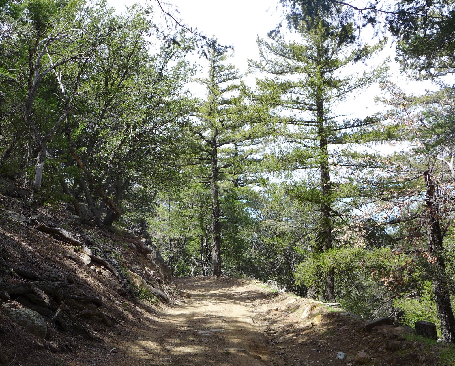
Over the weekend, I decided to hike a trail that I’ve been on countless times over the past three years. This was my first time hiking it, though.
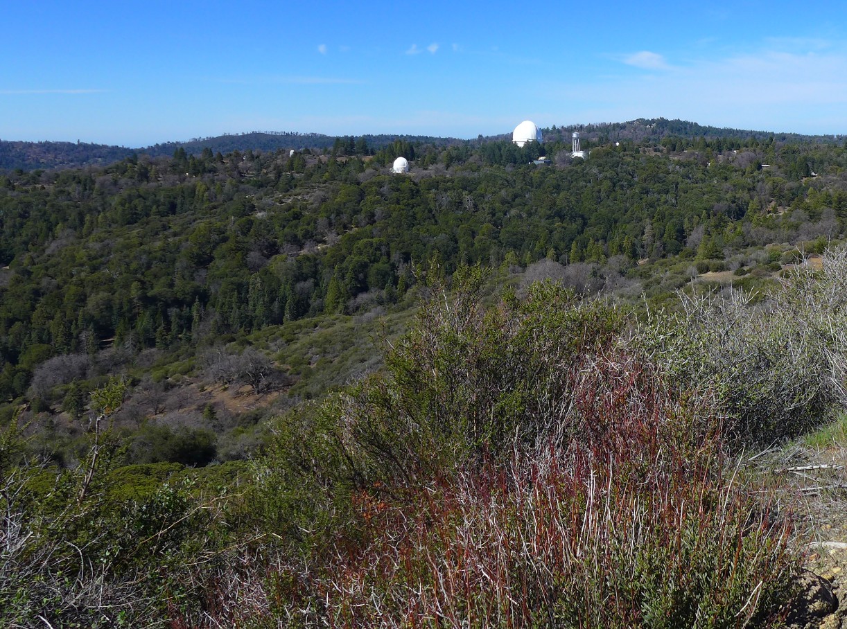
The trail is a rutted, partially graded truck trail that leads to Highpoint Fire Tower, which stands at the highest point on Palomar Mountain (elevation 6,140 feet). Most of the trail is located on property owned by the California Institute of Technology and travels east, past the Palomar Observatory. It’s accessible to fire agencies, the US Forest Service, and fire tower lookouts. I fall into the last category of people as a fire lookout volunteer.
The fire tower is currently closed up since fire season won’t start until May, but I figured I would hike to the tower since I’ve only ever gone up in a vehicle. I’ve always been told the trail is about nine miles, round trip, which is also what I calculated with my mapping app. It turned out to be about 6.5 miles.

Since the trail isn’t open to the public, I had it all to myself until I got to the top. Not long after I made it to the tower, two hikers who used the much longer, public trail, appeared. We chatted about gear while I ate my lunch. Nice people.

A closer look at Highpoint Fire Tower. In 1964, this tower replaced the original, which was built in 1935. It is about 70 feet high, and there are 92 steps to the cab (the box-like structure on top). I love this tower! Working in it is one of my favorite ways to spend my time.
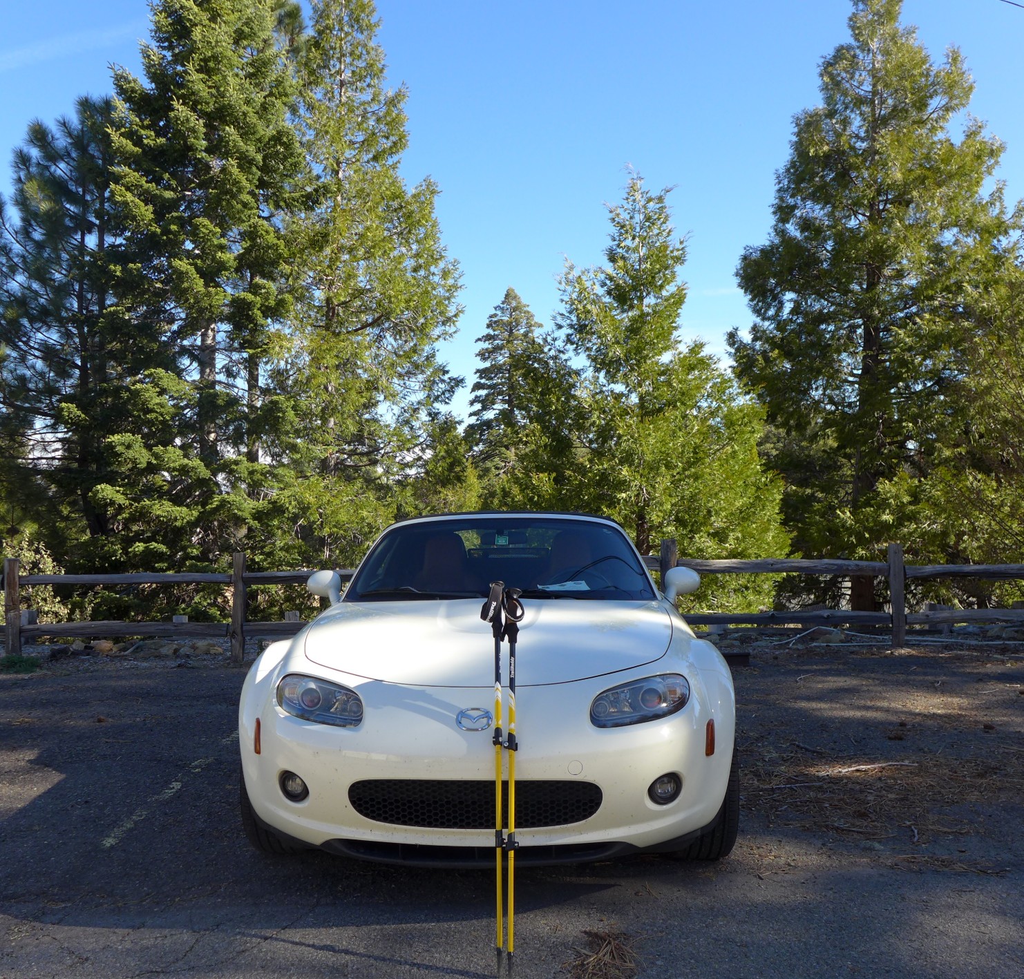
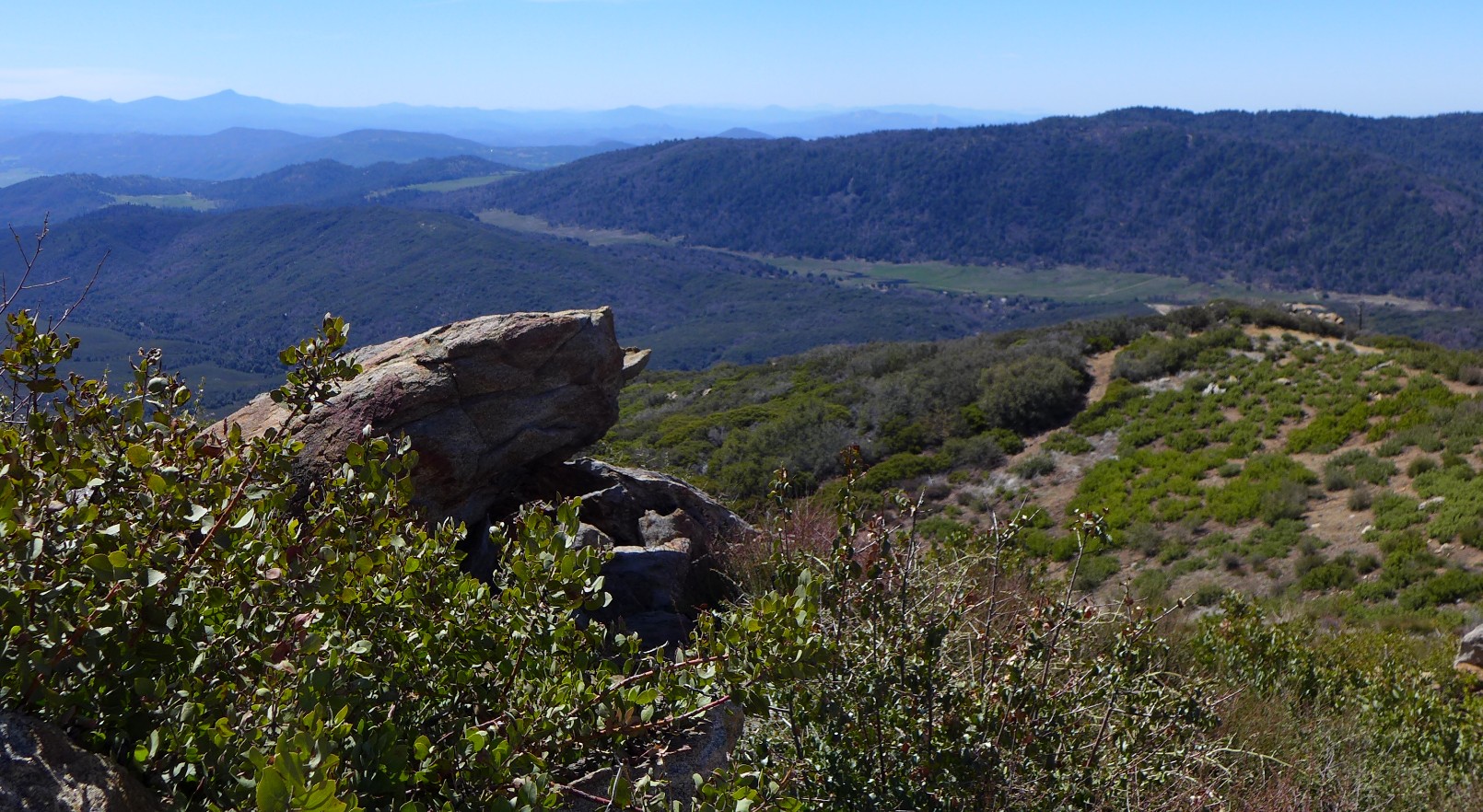
The breeze at Highpoint was refreshing after my warm trek up, and the view was amazing, as always, so I stayed for about a half hour before heading back down the trail. Getting back to the fire station, where I parked my car, was much faster than going up. This had a lot to do with gravity, of course, but I also felt highly motivated after determining the animal tracks I had been seeing on my way up looked like they were left by a mountain lion.

It’s difficult to tell, though… maybe they were canine prints. Sometimes the people who work and live onsite at CalTech use the trail for hiking, so I’m hoping someone went for a walk with their friendly, smiling, tail-wagging Golden Retriever earlier that morning.
The “TrailBuddy” logo on my trekking pole is about 2.5 inches, making the print in the photo about 3.5 inches long.
Despite the missing miles and mysterious animal tracks, the hike was good. It was interesting to see the trail from a different perspective. It also gave me a chance to check on the state of the road after all the rain we had, giving me a duty-related reason to use the trail.
Here are some more photos from my hike.


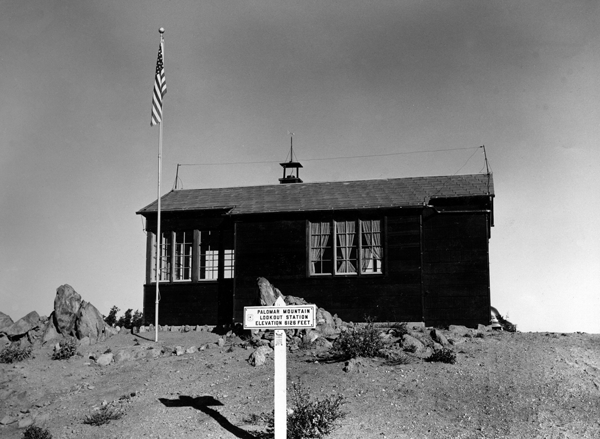
This is what the residence looked like in the 1930s. So bare! We have a photo that was taken later… the trees are there, but they are still small.
Source:
https://ffla-sandiego.org/highpoint-lookout/historical-photos/
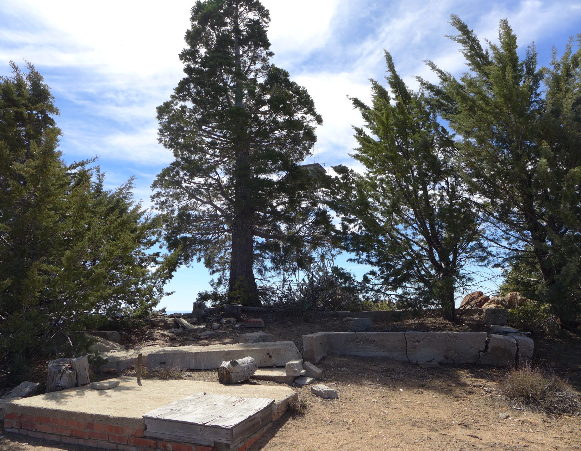
A view of the old foundation from the back.